Capitol Reef National Park
Southern Utah: Red-rock scenery rivaling that of Arches, Bryce, Canyonlands or Zion

John Treadwell Dunbar , Bio and Archives--August 28, 2011
Travel | Comments | Reader Friendly | Subscribe | Email Us
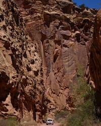 Among southern Utah's five magnificent national parks, Capitol Reef deserves special acclaim because it's less crowded, less commercial, holds bragging rights to red-rock scenery rivaling that of Arches, Bryce, Canyonlands or Zion, and in a day when admission fees are skyrocketing to preposterous levels, except for the official ten-mile "Scenic Drive" it's the only national park in southern Utah that's free, for the time being.
Rugged beyond belief and to its credit, remote, this 378-square-mile park is a long, narrow strip of stunning geology, a classic monocline, a 100-mile-long stepped-up wrinkle called the "Waterpocket Fold," or upthrust, that stretches from the Thousand Lake Plateau north of tiny Torrey, south to the still waters of the Colorado River known today as Lake Powell by most, and Lake Foul by those who continue to mourn Glen Canyon's senseless inundation.
Among southern Utah's five magnificent national parks, Capitol Reef deserves special acclaim because it's less crowded, less commercial, holds bragging rights to red-rock scenery rivaling that of Arches, Bryce, Canyonlands or Zion, and in a day when admission fees are skyrocketing to preposterous levels, except for the official ten-mile "Scenic Drive" it's the only national park in southern Utah that's free, for the time being.
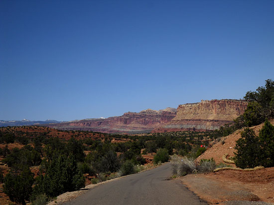
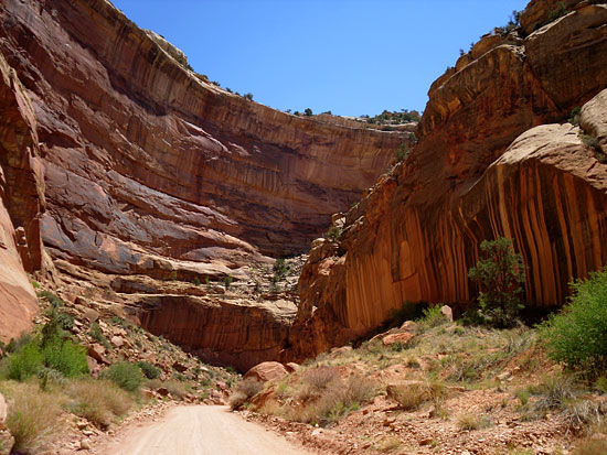
Rugged beyond belief and to its credit, remote, this 378-square-mile park is a long, narrow strip of stunning geology, a classic monocline, a 100-mile-long stepped-up wrinkle called the "Waterpocket Fold," or upthrust, that stretches from the Thousand Lake Plateau north of tiny Torrey, south to the still waters of the Colorado River known today as Lake Powell by most, and Lake Foul by those who continue to mourn Glen Canyon's senseless inundation.This jagged, rolling spine of massive Wingate and Navajo sandstone formations tantalizes red-rock and white-rock lovers with miles of jeeping, and hiking through narrow, twisting slot canyons, over soaring golden domes and across wide mesas lush with pinion-juniper. "Wayne Wonderland" is a land of color, of plunging cliffs striped black and red, and boulders black and round, and broken slabs and jumbled piles of chiseled stone dropped from up high; big rocks, as big as ships or your sworn enemy's house; crumbling red castles and crimson cathedrals and pointy spires and medieval fortresses and long, foreboding sandy roads that march on endlessly, and meandering goose-necks that succumb to the river's flow, and flat red walls standing tall in deep blue skies. Capitol Reef National Park is a towering temple of the earth's eroding crust, a delectable banquet of out-of-this-world scenery that will steal your breath, weaken your grip on reality and put you in your proper place if you're not there already. But you better know what you're doing before you waltz off into the back-country because it's not really a walk in the park. Trapped in a narrow slot canyon, of which there are many, flash floods will kill you even on sunny, blue-sky days. Rattlesnakes will bite you on the ankle as you gaze mesmerized at those towering skyscrapers overhead. The old Range Rover might break down on the eastern flank of the Waterpocket Fold, or get stuck in the muck after a violent summer thunderstorm.
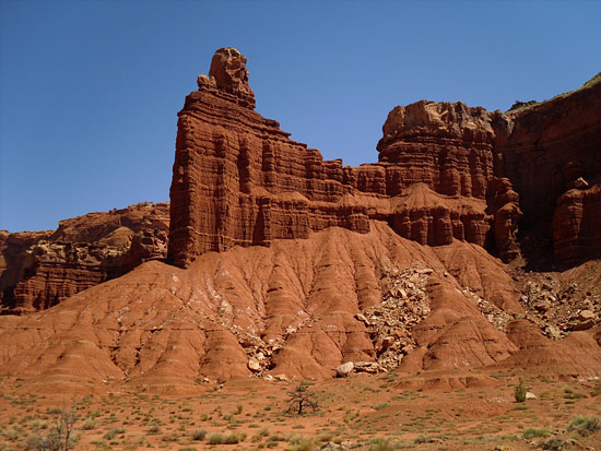
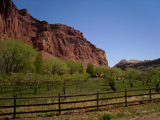
Or, you might just get helplessly turned around and lost and run out of water under a blazing hot sun and perish in a sunstroke stupor dreaming of ice-cold Budweisers and babbling to the Almighty for the first time and making promises you'll never keep. Heaven forbid, you might even get a bellyache, a painful belly full of gas, the fruity kind, from eating too many apricots or cherries or apples or peaches or pears, or maybe some plums that are free for the picking and eating down at the park's historic orchards, known in NPS vernacular as a Rural Historic Landscape that once sustained the small agrarian community now called Fruita beginning in the late 1800s. Today, these 2,700 very old fruit trees are managed by a two-person orchard crew year-round. Their pruning and irrigating keeps alive a rich, Mormon pioneering past known for adventure and back-breaking toil and daunting challenges that tested the pioneers' faith and no doubt pushed it to the limit. Industrious settlers, never more than ten families, braved daily hazards and tedious chores to carve out the quiet good life in this high desert oasis along the flood-prone Fremont River that cuts through some of the tastiest morsels of Capitol Reef's towering sandstone tapestry.
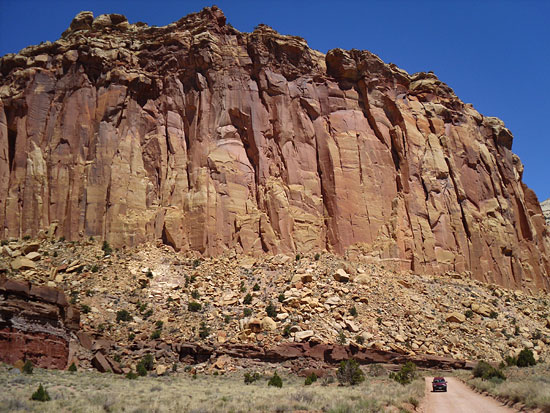
Wallace Stegner, one of America's finest authors, referred to the Fruita valley as, "... a sudden intensely green little valley among the cliffs of the Waterpocket Fold, opulent with cherries, peaches, and apples in season, inhabited by a few families who were about equally good Mormons and good frontiersmen and good farmers."
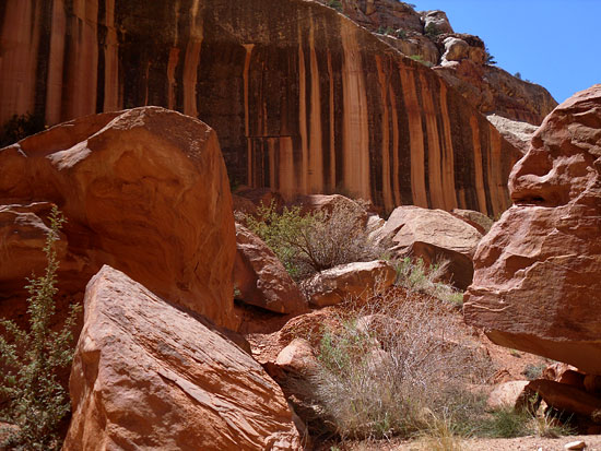 Evidence of their simple ways can be found at the renovated Gifford farmhouse, smokehouse and barn, a homestead originally built in 1908 by Calvin Pendelton who was a happy but exhausted polygamist back in the days when nightly attendance to multiple wives was a delicate time-honored tradition among essentially decent God-fearing people who leaned a bit too heavily on the Old Testament.
 The green homestead oasis where mule deer wander carefree seems so out of place when it first comes into view; the surroundings are too beautiful, for one thing. Hats off to the park service for preserving a small slice of the American West and demonstrating how the early, hardy ones survived and thrived, relatively speaking, which was no simple feat after a long 16-hour day of ditch-digging and pear-picking. If you visit, make sure to stop by the one-room, log, schoolhouse constructed in 1896. It's a beauty.
I've always wondered where earth's oxygenation came from, and now I know. It came from places like Capitol Reef National Park and three-billion-year-old haystack-looking, limestone Stromatolites, the oldest fossils on the planet. For over two billion years Stromatolites were the dominant life form and are believed to be responsible for most of the atmosphere's oxygenation.
 Bet you didn't know that. Or that the Navajo Sandstone formation on the Colorado Plateau was once an arid sea of drifting sands called an "erg" comparable to the Sahara Desert that covered a half a million square kilometers, which is, what, roughly 300,000 square miles. At 2,000 feet thick it's considered to have been one of the earth's largest dune fields, ever. And that's where the Stromatolites are located, though I never actually saw one, and if I did I didn't have a clue what it was. They're around here somewhere.
 For a bird's-eye view and the most scenic approach I recommend driving north up the 12 from Boulder if you're coming from Bryce, up and over the aspen-thick slopes of the Aquarius Plateau, descending through dense evergreens on Boulder Mountain where large elk herds graze in open meadows. On clear days, which is much more often than not, you can see the park through breaks in the trees and at scenic pullouts.
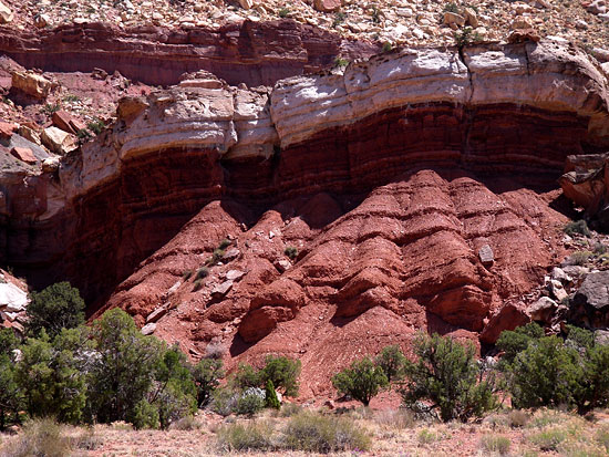
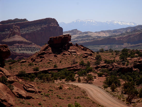
It's hard to miss the long-running spine of the Waterpocket Fold to the east below you, and the bulging mass of red at the park's north end. And beyond the fold, running north and south, the cool confines of the Henry Mountains. Once you hit the 24, the drive down toward Fruita in the park is splendid, especially when late afternoon light saturates the brilliant reds, and the gold and the white and tan and those brilliant deep-orange hues. But mostly the red.
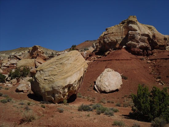 West of the park is ranch country, large hay and alfalfa fields and big spreads and second homes recently purchased by folks who've discovered one of Utah's best kept secrets. A string of small towns with a strong ranching heritage stretch west to Richland - Torrey, Bicknell, Lyman and Loa.
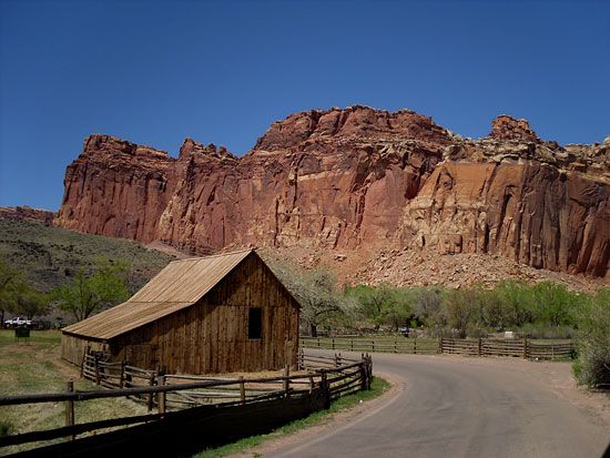 Torrey, nearest the park, is shaded by massive cottonwoods along Main Street and is quietly laboring toward "hipness." Catering to the park's visitors and mountain recreationists, and the autumn hunting crowd, it offers lodging, dining, shopping and the arts, but in small doses. It's very quaint and very quiet, and if I were an artist, a painter, perhaps, I'd live here and ply my craft and help turn this secluded Utah gem into an art colony extraordinaire. With Capitol Reef National Park as a backdrop you'll never lack for inspiration.
View Comments
John Treadwell Dunbar——Bio and Archives
John Treadwell Dunbar is a freelance writer